
GPS & GNSS Systems
GNSS / GPS
Precision Positioning for a
More Productive Job Site
Centimetre-accurate, real-time positioning for machine control, site layout, grading and stakeout — from an authorized iDig dealer who answers the phone.
The technology
What is GNSS / GPS?
GNSS — Global Navigation Satellite System — uses a network of satellites to deliver precise positioning data anywhere on the job site. GPS is the American part of that network; GNSS is all of it at once.
With RTK corrections, GNSS gives you centimetre-level positioning, so crews work faster, cut rework and get the job done right the first time.
iDig builds that technology into machine control and site positioning tools designed for real job-site use — the same receiver works on the machine or on a rover pole.
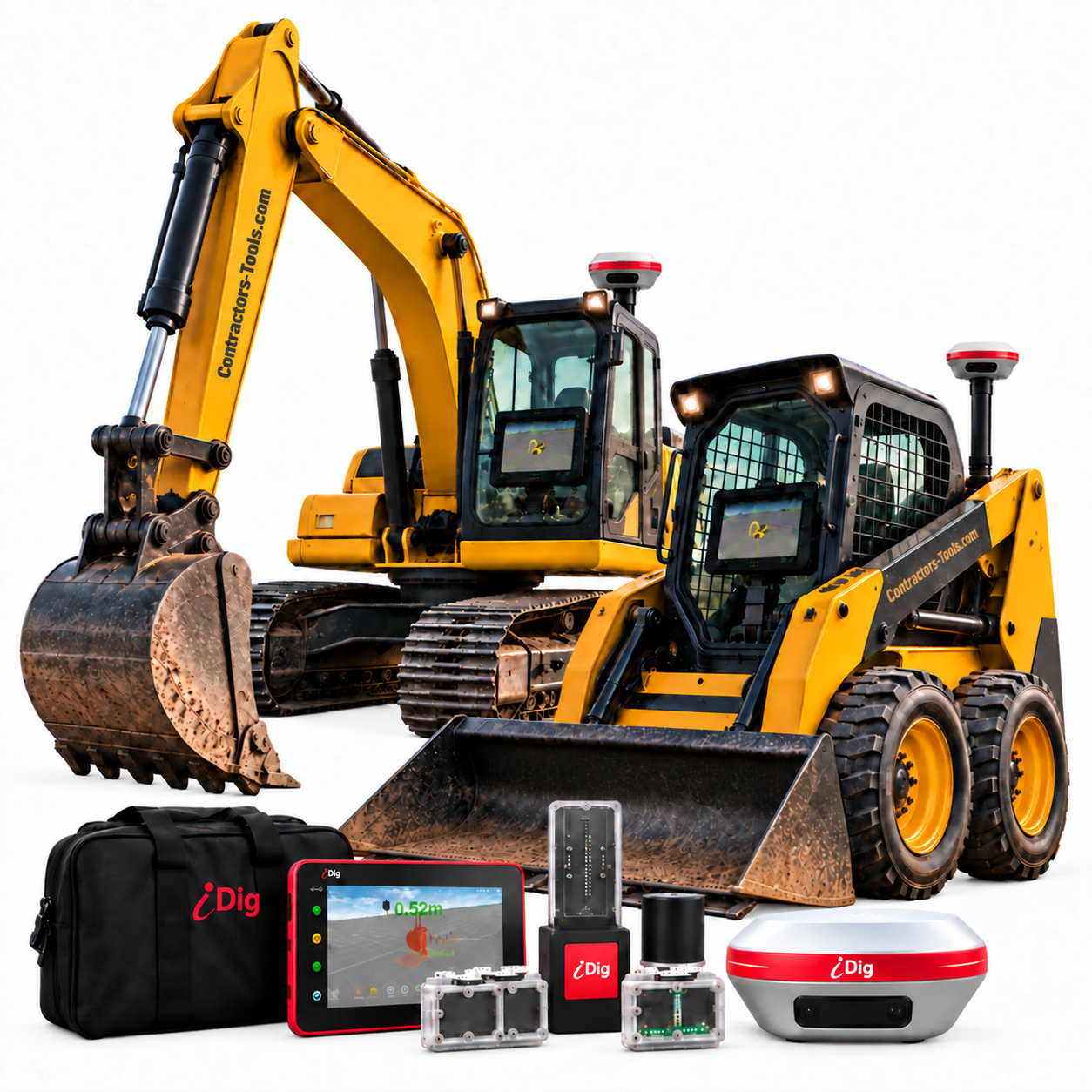
Choose your system
Base, or base and rover
The same SpotMan receiver does both jobs. One on the machine takes corrections and drives grade. A second one becomes your own base station and broadcasts corrections over UHF, so you are not paying a monthly correction service. Add the rover kit and the receiver comes off the machine to shoot points, stake out and check volumes.
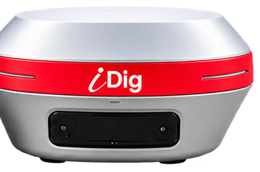
iDig SpotMan GNSS Receiver
The receiver on its own. Everything a machine needs and nothing more — and a second one converts into your own base station.
CT140T
View the product → Base and roveriDig SpotMan GNSS Rover Kit
The same receiver plus the 2 m survey pole, rugged 8″ Android tablet, iPoint software, quick release, UHF antenna and hands-free backpack.
CT140T-K
View the product →Questions