iDig Systems
iDig Machine Control
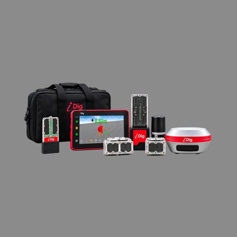
Solar-rechargeable sensors that clip on with magnets, a 7″ sunlight-readable tablet in the cab, and an LED bargraph in your field of vision. Dig to grade the first time, without a grade checker standing in the hole.
Contractors-Tools.com is an authorized iDig dealer. We build and support these systems, and we will spec one against your machine before you order.
Which iDig Is Right For You?
Three ways in, and the difference is how much the system can grow. Thirty seconds here saves you reading three product pages wondering which one you are looking at.
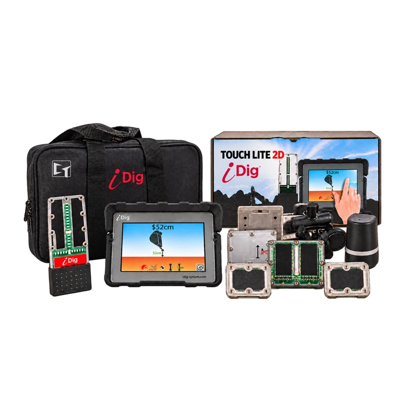
iDig TOUCH 2D LITE
The lightest way into laser-referenced excavator guidance, and the least expensive 2D system we know of. Wireless solar sensors, an in-cab LED bargraph and a touchscreen tablet, digging to the same ± 1 cm as the flagship, with the software already installed.
2D only. Not upgradable, and not for skid steers.
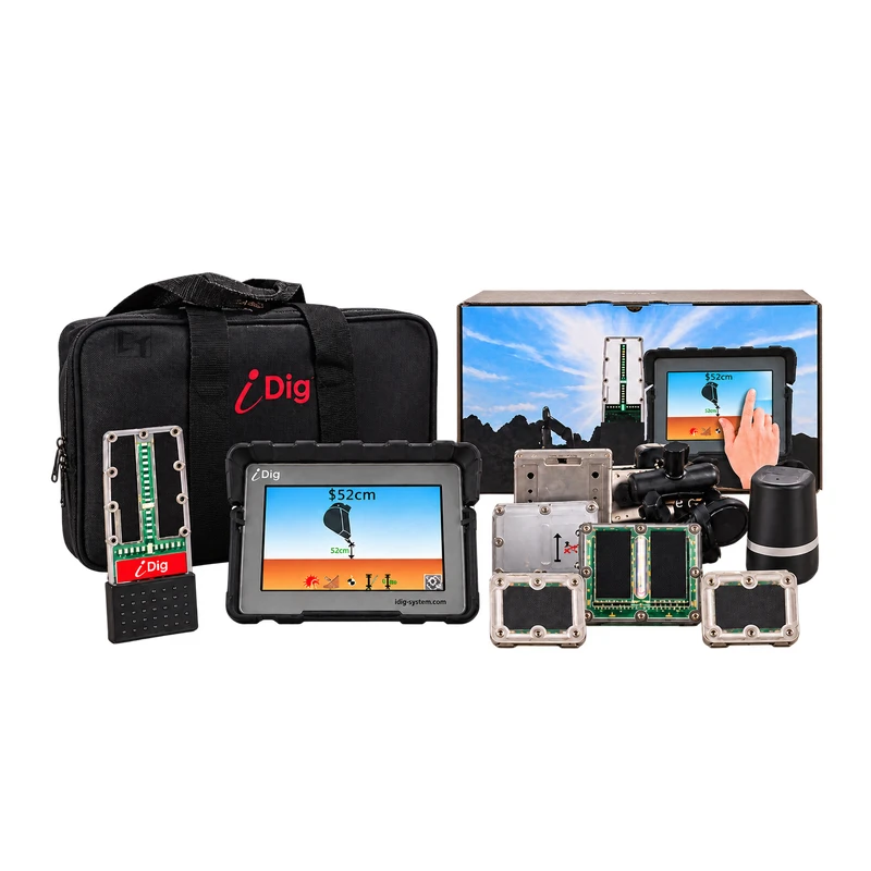
iDig TOUCH 2D
The same hardware as LITE with the full software set — blade guidance, clamshell and auger, rotary attachment, distance measurement and the height alarm. Reads about ten times a second over WiFi, with nothing further to buy.
2D only. Not upgradable, and not for skid steers.
iDig CONNECT
Multi-axis, reading 100 times a second over Bluetooth 5, storing far more machine and bucket profiles, able to take its height reference from GNSS, and able to grow into 2D PROJECT and full 3D on the very same hardware.
2D, 2D+ and full 3D. Excavator and skid steer.
What Are You Putting It On?
This is the question that actually decides the package, because an excavator and a skid steer take their height reference from completely different places.
Excavator
Runs 2D todayWorks from a rotary laser or a benchmark you shoot — the most accurate the system gets, about ± 3/8 inch. No base station, no correction service, no satellites.
Steps up to 2D+ and on to 3D later by adding a SpotMan rover or rover kit, or by using the GPS you already own. Nothing you buy today gets replaced.
Skid Steer or Track Loader
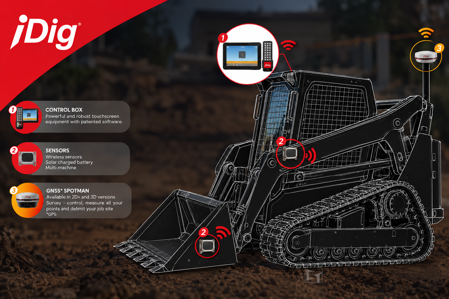
Runs 2D+ onlyA loader has no boom or stick to mount a laser receiver on, so it reads satellites instead. That is not a preference — the system will not run on a loader without a GNSS reference.
Accuracy is about an inch, and there is no benching and no laser to set up on site.
Both Machines
One kit, two licencesBoth licences on one CT700 kit. You are buying the GNSS receiver anyway for the loader — and once you own it, the excavator runs 2D+ off the same unit with no benching on either machine.
The excavator still keeps the laser option for the tighter work.
What You Will Use It On
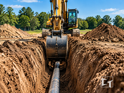
Hold the same depth the length of the run. No jumping out to check with a tape, and no backfilling what you cut too deep.
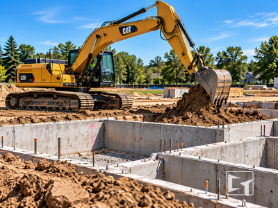
Every corner and every edge to the same depth, across the whole pad, without a grade checker walking it behind you.
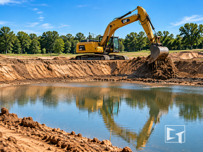
Retention ponds, detention basins and water features dug to depth and slope without stakes or string lines.
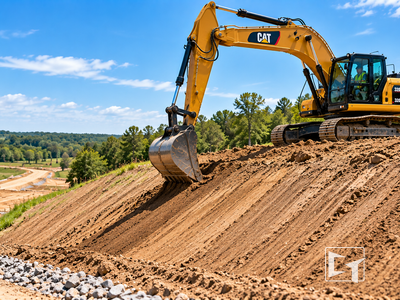
Cut a batter on an embankment, a channel or a roadside slope and hold the angle, with the current angle on screen as you go.
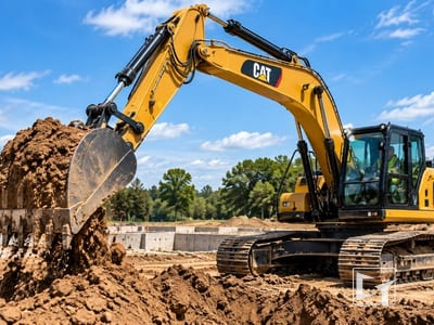
Grade a line to fall, first pass. The display reads depth and distance to target straight off the cutting edge.
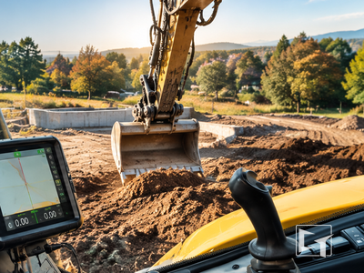
Bring it back to grade and finish clean, reading the cutting edge from the seat rather than stopping to put someone in front of the machine.
2D, 2D+ and 3D — Plainly
These are not three different systems. They are three ways the same CONNECT hardware can be told where grade is, and moving between them is a software licence, not a new machine control system.
| Where grade comes from | What you need on site | Accuracy | |
|---|---|---|---|
| 2D | A rotary laser, or a benchmark you shoot and hold | A rotary laser, or one benchmark | About ± 3/8 inch — the tightest of the three |
| 2D+ | GNSS satellites, through a base station or rover | A GNSS base station or rover. No laser, no benching | About 1 inch |
| 3D | A design file — the machine knows where it is on a modelled site | GNSS, plus a design to work to, plus a 3D licence | About 1 inch, against the model |
The surprise for most buyers: 2D is the most accurate of the three, because a laser plane is a tighter reference than a satellite fix. 2D+ and 3D buy you convenience and the ability to work a whole site without benching — not a tighter number.
Why 2D Is The Right Starting Point
For most contractors 2D delivers the best return — lower cost, faster setup and productivity on the everyday work, rather than capability you are not using yet.
Lower entry cost
2D costs significantly less than a full GNSS setup, which puts real machine control within reach of a contractor of any size. The return is typically measured in weeks.
Nothing else to set up
2D works from the onboard sensors against a laser or a benchmark — no base station, no correction subscription, no satellite dependency.
Fast on every job
Set your target depth or slope in seconds from the cab. Move site to site without reconfiguring anything — dial in your grade and go.
Easy for any operator
The display is built for operators, not surveyors. New operators are productive in a day; experienced operators are immediately faster and more accurate.
TOUCH 2D vs CONNECT
Both are wireless, solar and self-installed. This is where they actually differ.
| Capability | iDig TOUCH 2D | iDig CONNECT |
|---|---|---|
| Machines it guides | Excavator | Excavator, and skid steer with the CT157 licence |
| How it is referenced | 2D — laser or benchmark | 2D, 2D+ from GNSS, and 3D with a licence |
| Sensor capability | 1 axis | Multi-axis |
| Measurement rate | About 10 per second, over WiFi | 100 per second, over Bluetooth 5 |
| Software | Included — nothing further to buy | One-time licence per machine type |
| Where it can grow | Nowhere — 2D only, not upgradable | 2D+ from GNSS, 2D PROJECT, and full 3D on the same hardware |
| See the full page | See iDig TOUCH 2D → | See iDig CONNECT → |
SpotMan GNSS — The Height Reference
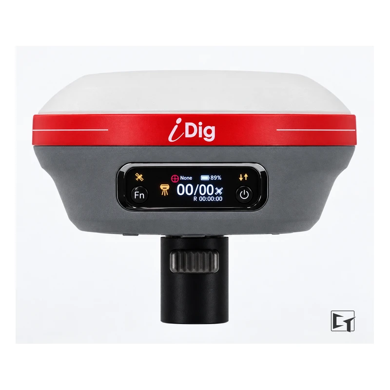
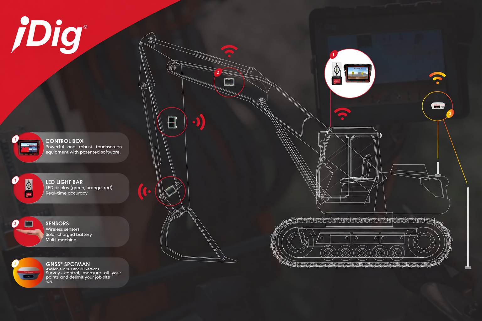
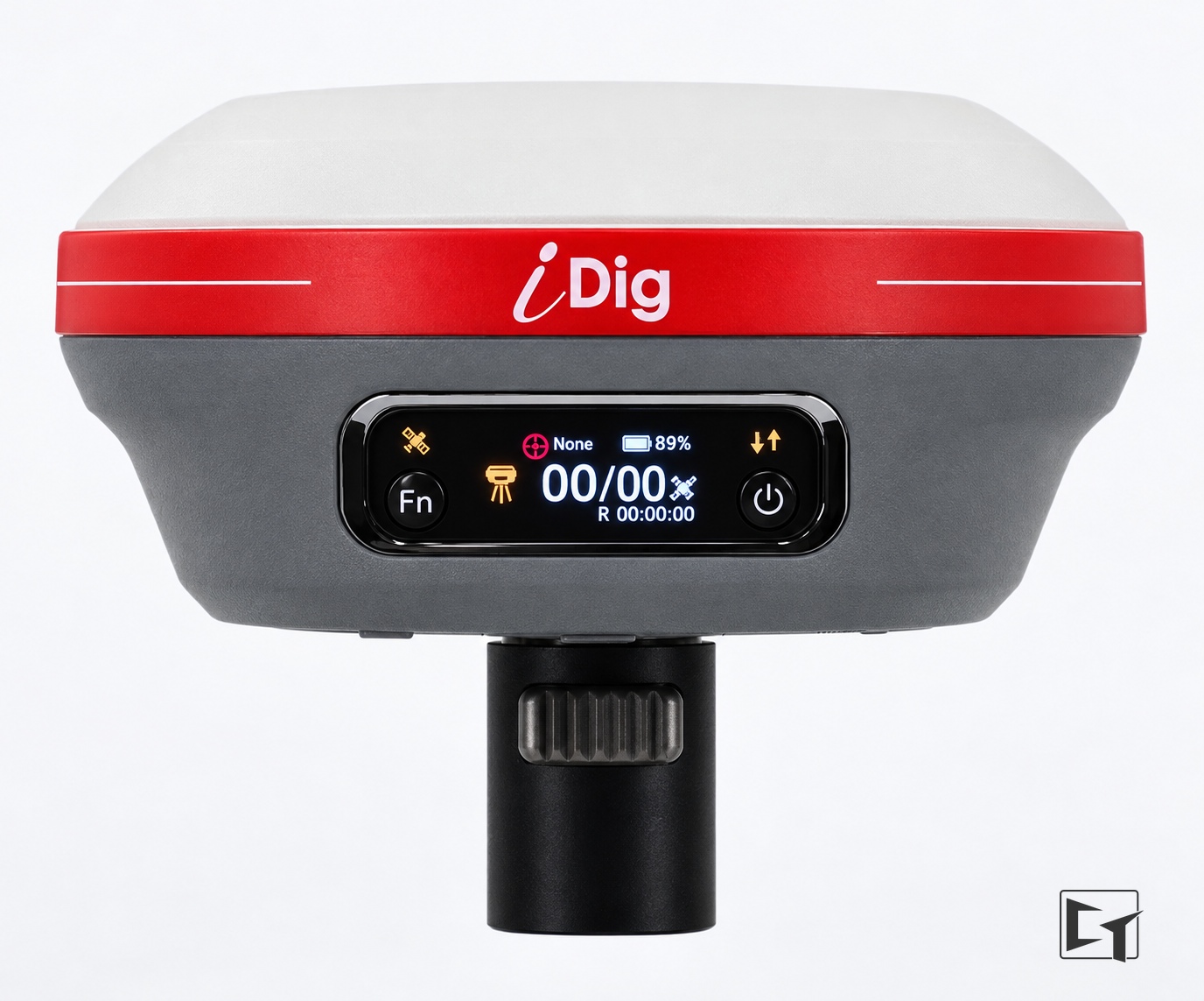
SpotMan is what turns 2D into 2D+. It replaces the rotary laser as your height reference, which means no benching and no laser to set up on site. It is also what makes a skid steer run at all.
One GNSS system covers one machine at a time, and it moves between machines the same way the rest of the kit does. If you already own GPS, bring it — call us and we will check it against the system before you buy anything.
Wireless, Solar, And Yours To Install
Nothing welded, nothing wired
Sensors clip to magnetic mounting plates and talk to the cab over Bluetooth. A first install is a morning in your own yard, not a day in somebody's shop.
Solar-rechargeable sensors
U.S. patented. No cables to run and no sensor to remember to charge overnight — the thing that kills most wireless systems on a real job site.
100 machines, 100 buckets
The control box remembers your machines and your buckets, so moving the system between machines takes minutes rather than a reconfiguration.
One-time licences
Every iDig software licence is a one-time fee. No subscription and no annual charge to keep the system you bought working.
Frequently Asked Questions
Which iDig system do I need for an excavator?
An excavator can run iDig CONNECT in 2D straight away, working from a rotary laser or a benchmark you shoot. That is the most accurate the system gets, about plus or minus 3/8 inch. It steps up to 2D+ and on to 3D later by adding a SpotMan GNSS rover or rover kit, or by using GPS you already own, and the sensors, bargraph and tablet all stay.
Which iDig system do I need for a skid steer or track loader?
A skid steer runs 2D+ only. It has no boom or stick to put a laser receiver on, so it takes its height reference from satellites instead. That means a GNSS base station or rover is required for the system to work at all.
What is the difference between 2D, 2D+ and 3D?
2D works to a height reference you give it — a rotary laser or a benchmark — and guides depth and slope. 2D+ does the same work but takes that height reference from GNSS instead of a laser, so there is no benching and no laser to set up. 3D works to a design file, so the machine knows where it is on a modelled site rather than relative to one reference. All three run on the same CONNECT hardware; moving between them is a software licence, not a new system.
What is the difference between iDig TOUCH and iDig CONNECT?
TOUCH 2D is a single-axis system reading about ten times a second over WiFi, with its software already included — the straightforward choice for depth and slope on an excavator. CONNECT is multi-axis, reads 100 times a second over Bluetooth 5, stores far more machine and bucket profiles, and can grow into 2D PROJECT and full 3D on the same hardware.
Do I need a subscription or a correction service?
Not for 2D. CONNECT 2D works from its own sensors against a ground, laser or benchmark reference. A correction service only enters the picture on the GNSS side, and if you own a base station outright there is no monthly charge at all. Every iDig software licence is a one-time fee.
Does iDig have to be welded or wired to the machine?
No. The sensors are solar-rechargeable and clip to magnetic mounting plates, and they talk to the cab over Bluetooth. Nothing is welded on and no cable is run through the machine, so a first install is a morning in your own yard rather than a day in a shop.
Can one iDig system move between machines?
Yes. The tablet and bargraph move with you and the control box remembers up to 100 machines and 100 buckets, so a move takes minutes rather than a reconfiguration. The sensors and mounting plates stay on each machine. A licence covers the machine type, so an excavator licence and a skid steer licence together let one kit run both.
Call 1-877-866-5721
Authorized iDig dealer. We will spec a system against your machine before you order, and we support it after you own it.
Contractors-Tools.com
Experience the value of Great Customer Service!